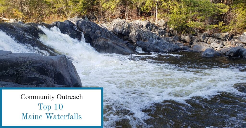
10 Largest Waterfalls in Maine
Maine sports over 425 mapped waterfalls, so how do you decide which ones to visit? The highest falls come in with a staggering 90 foot drop. Some of Maine’s popular waterfalls are easily accessible and others require a hike to enjoy. No matter your skill level you can access some of the most beautiful waterfalls in Maine. Top on the list is Angel Falls with it’s stunning 90 foot drop over a set of plunging tiers through 115 foot cliffs. Not to be rivaled by Moxie Falls rated as Maine’s tallest waterfall with a straight 90 foot plunge into a 17 foot pool at the base. The sound of rushing water draws people from everywhere for the spectacular views and cool pools, often great swimming spots on a hot summer day. Following is a list of the 10 most popular waterfalls in Maine.
Top 3 Waterfalls by Height
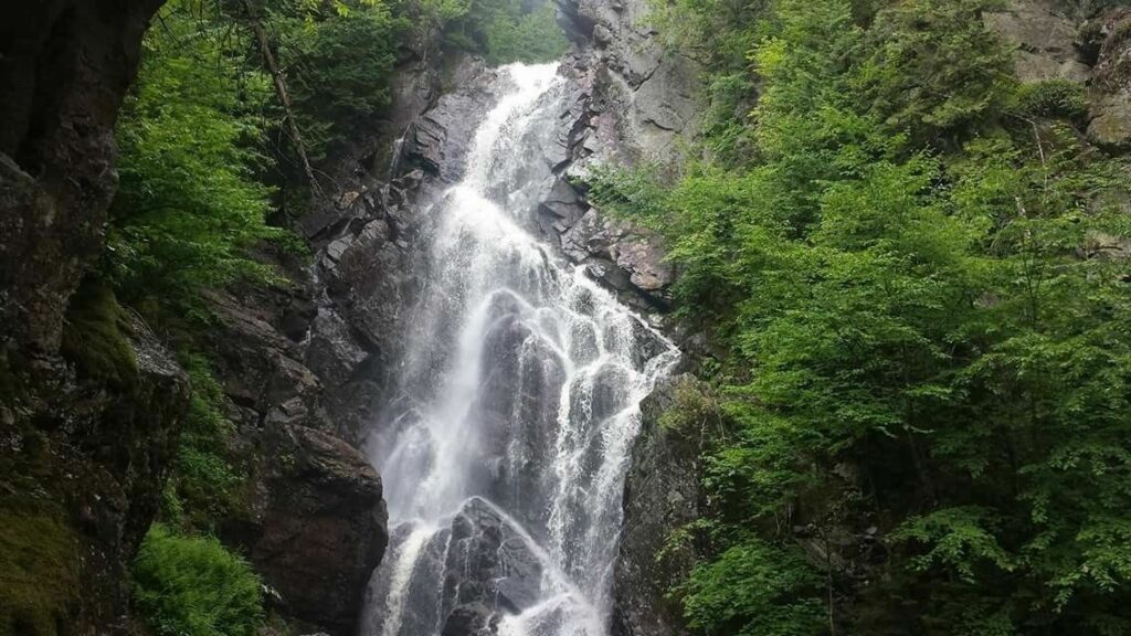
#1: Angel Falls located in Franklin County on Mountain Brook near Houghton, Maine in Township D. The 90 foot drop through a set of tiers which causes the water to fan out like angel wings. Angel Falls is easily accessible by taking Route 17 North from Mexico, Maine to the Bemis Road. Travel 3.6 miles on Bemis Road and look for a logging road that goes left and down a hill. The main parking is at the bottom of the hill. The hike into Angel Falls takes about 30 minutes at a distance of 0.8 miles. The hike is rated as easy to moderate on a family friendly trail.
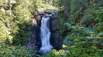
#2: Moxie Falls located in Somerset County on Moxie Stream near West Forks, Maine. Moxie Falls is another stunning 90ft falls with a 17ft pool at the base. It’s a moderate 1 mile hike into Moxie Falls which includes bridges, boardwalks and stairs to access the breathtaking views of Moxie Falls. Just outside the small village of The Forks turn onto Moxie Pond Road (A.K.A. Moxie Lake Road) go 2.3 miles past the rest stop to the parking at the trailhead. The trail is marked and has several observation points to enjoy the falls and the surrounding beauty!
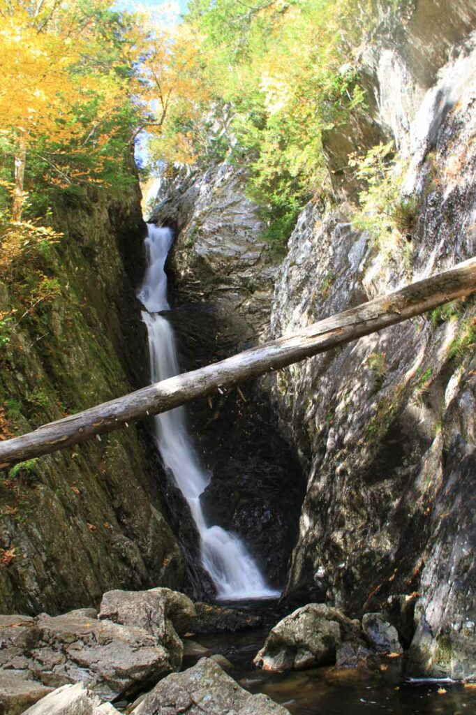
#3 Lower Dunn Falls located in Oxford County on the West Branch of the Ellis River near Andover North Surplus. Lower Dunn Falls is a plunge falls at an 80 foot drop. Part of this 2.5 mile hike is along the Appalachian Trail lending gorgeous views of the mountains in Western Maine, to complete the looping trail will give you access to both Upper and Lower Dunn Falls. This trail is rated as moderate with an easy start and wide trails but becomes more difficult as you travel along. There are several smaller cascades and pools along the journey including Middle Dunn Falls making the trek worth the effort.
Next 3 Highest Waterfalls in Maine
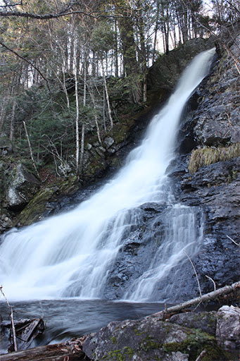
#4 Upper Dunn Falls is a fan with an overall 70 foot drop. To find the trail take Route 26 North from Grafton Notch State Park to Andover Road. Travel 6 miles to a parking area for the Appalachian Trail where it crosses the road. This trail is marked with blue blazes. The trail starts out wide and then becomes more narrow and hilly with some areas relatively steep. Take an extra pair of hiking shoes as you may end up with wet feet crossing the river.
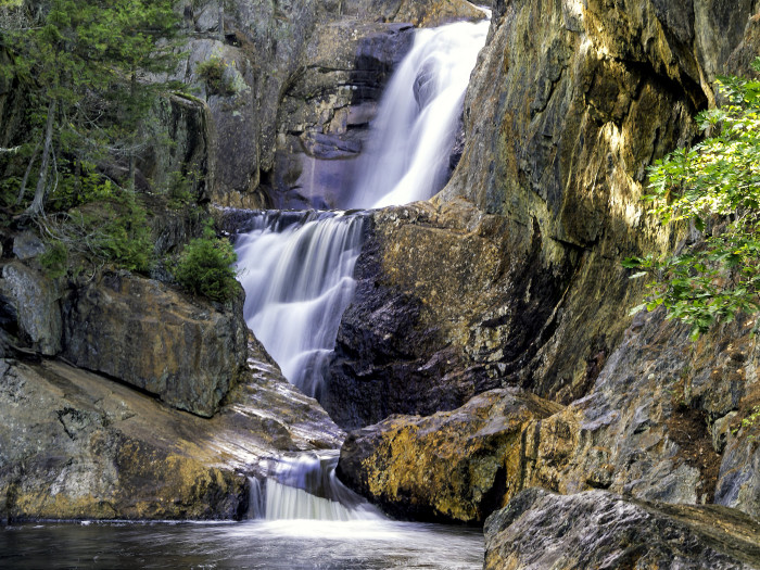
#5 Small Falls is in West Central Franklin County on the Sandy River in Township E near Rangely, Maine. Small Falls is a series of horsetails and cascading waterfalls with an overall drop of 54 feet. To find Small Falls go South of Rangely on Route 4 look for the Small Falls Rest Area. The falls are viewed in the Rest Area and has a rocky beach at the lowest falls for children to splash around in on a hot day. The rest area has picnic tables, charcoal grills and primitive bathrooms. A great way to spend an afternoon enjoying a picnic lunch and a splash in the pool to cool off.
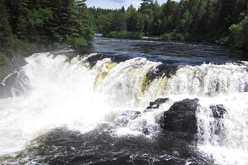
#6 Grand Falls is in Somerset County on the West Branch of the Dead River in Township 3 Range 4 near Bingham and The Forks, Maine. Grand Falls is a block falls with a 40 foot drop and an impressive 100 foot wide waterfall. Swimming is prohibited because of the raging currents. To access Grand Falls use Lower Enchanted Road North of The Forks, Maine. The road will come to a split stay left and continue until you find a large clearing and a Kiosk Building. It’s an easy, short hike to the falls from the parking area.
Last 4 of the Tallest Waterfalls in Maine
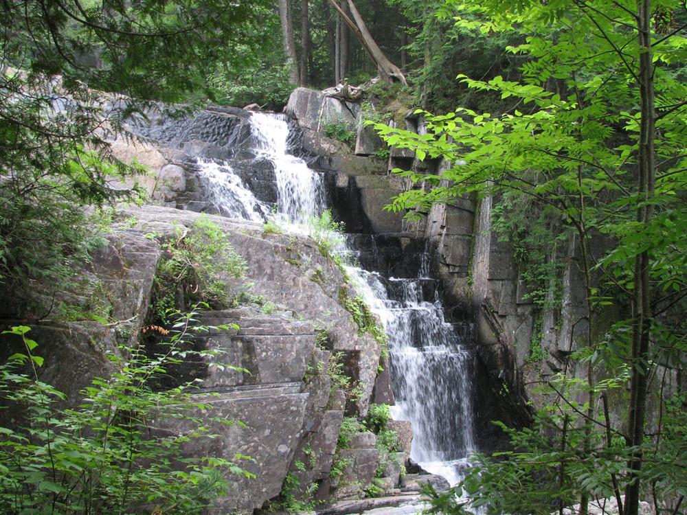
#7 Little Wilson Falls located in Piscataquis County on Little Wilson Stream in Elliotsville near Monson, Maine. There is an Upper and a Lower Little Wilson Falls, the upper falls is a series of cascades totalling a 40 foot drop. The lower falls has a total drop of 18 feet. The trail is 2.5 miles round trip with a rough access road and a moderate to difficult trail due to the tree roots. It can be slippery on wet or damp days so use caution. The hike is on part of the Appalachian Trail and gives access to a few smaller falls between the upper and lower falls. From the town of Monson, go North on Maine Route 6 & 15, turn Right onto Elliotsville Road. Travel 7.6 miles and turn Left just before the bridge over Wilson Stream. This road has sections of large potholes, a high clearance vehicle is required to travel further. If you have a low clearance vehicle you can park at this point in the parking lot on the left side of the road, note this will add an additional 2 miles to your hike. About another .8 miles there is additional parking in a gravel lot with a short hike of about .3 of a mile to the trailhead. Note: there is very limited parking at the trailhead.
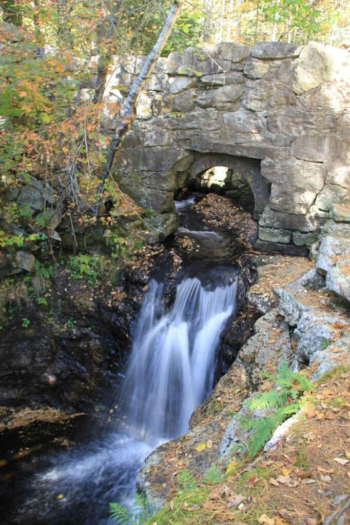
#8 Snow Falls is in Oxford County on the Little Androscoggin River, at a roadside rest area near West Paris, Maine . The falls are a plunge and cascade with a total drop of 25 feet. From South Paris Maine travel North on Route 26 look for the Snow Falls Rest Area on the left side of the road. From West Paris take Route 219 and look for Route 26 on your right. Travel south until you see the Snow Falls Rest Area on your right. The trail is easy and short with a nice bridge so you can cross over to the opposite side. Note: If you enjoy Gem hunting stop at the Dig Maine Gems location between West Paris and the Snow Falls Rest Stop for some extra family fun.
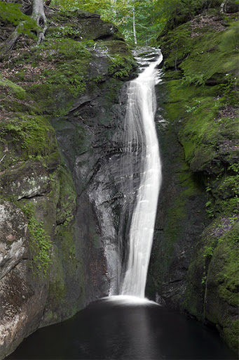
#9 Kees Falls in Oxford County on Morrison Brook in Batchelders, near Hastings, ME in the White Mountain National Forest. Kees Falls is a horsetail and has a 25 foot drop on the main falls. If you hike the entire loop it is a 7 mile hike rated moderate to hard. The beginning is easy and at the 3rd crossing of Morrison Brook about 1.6 miles from the parking area you will be a short distance from the falls. Kees Falls will be downstream from this crossing with a breathtaking emerald colored pool at the base of the 25 foot drop. The beginning of the hiking trail is located in a parking area on Route 113 approximately 4.6 miles south of the town of Gilead.
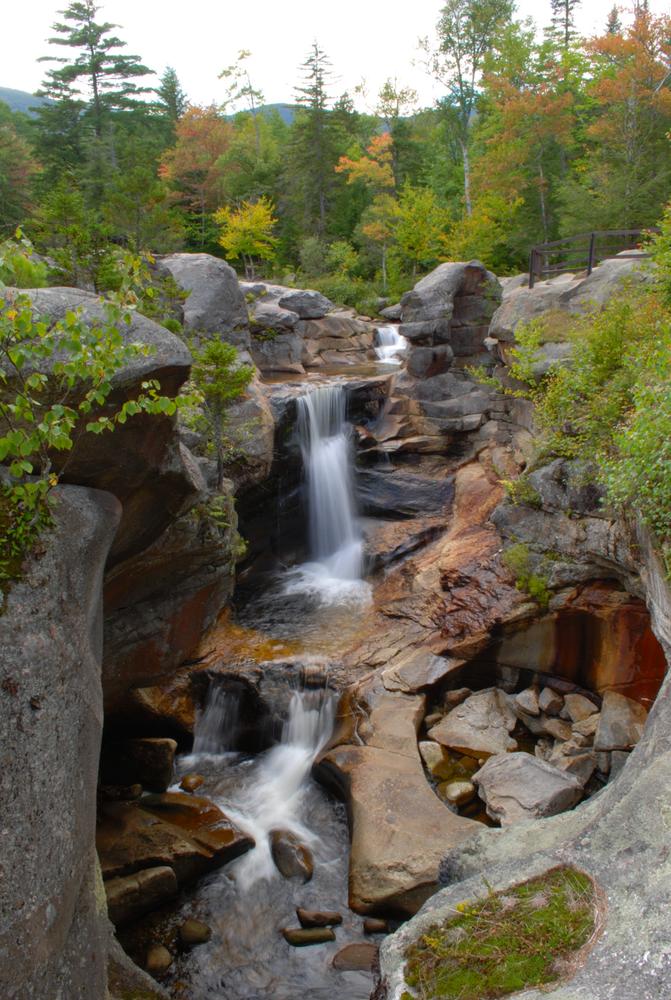
#10 Screw Auger Falls is located in Oxford County on the Bear River inside the Grafton Notch State Park located near Newry, Maine. The falls are a plunge and cascade falls with an overall drop of 23 feet. This easy 2 tenths of a mile hike has many ledges and drop offs so caution is needed during wet weather. Screw Auger Falls is easily found by taking Route 26 North from Newry, ME for about 9 miles, go 10 miles to view Mother Walker Falls which is a 40 foot wide cascading waterfall dropping a total of 98 feet. If up for more adventure, while right in the neighborhood, go another mile from Mother Walker Falls to see Moose Cave Falls. Moose Cave is in a 45 foot deep canyon and the waterfall disappears into a cave then reemerges a short distance later. Use extreme caution: the rocks are slippery when wet.
Any of these natural masterpieces are worth the effort to see. Choose a trail that matches your skill level and bring along a picnic lunch. As with any outdoor adventure, go prepared with snacks, water, an extra pair of shoes, some sunscreen and bug spray (during fly season) and enjoy a day exploring near one of Maine’s beautiful waterfalls.
Recent Comments